LAND SURVEY
We have available SOKKIA G.P.S. Receivers which use the U.S. G.P.S. Satellite System. These precise instruments are capable of providing centimeter accuracy by relating the roving station to a Government (NAMRIA) Bench Mark and post processing the data simultaneously recorded on the NAMRIA point and the roving station.
For establishing geodetic control in remote areas it can be a very cost effective(compared to conventional survey methods) means of establishing survey control in areas where there are few stations or the existing stations are of doubtful accuracy.
SOKKIA R.T.K. System allows rapid surveying of sites from a single reference point
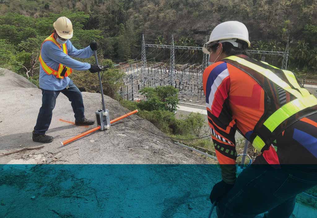
We use SOKKIA Total Stations, with data logging to conduct Topographical Mapping, Traverses, Setting Out, Construction, Engineering, Leveling and Mining surveys.
Our Total Station Data Loggers can be down-loaded to "TERRAMODEL" Civil Engineering and Surveying Software to perform all Survey Computations, Road and Slope Design, Digital Terrain Modeling, 3-D Presentations, Cross Section and Profile extraction and Plotting utilities.